Explore Our Key Services
01
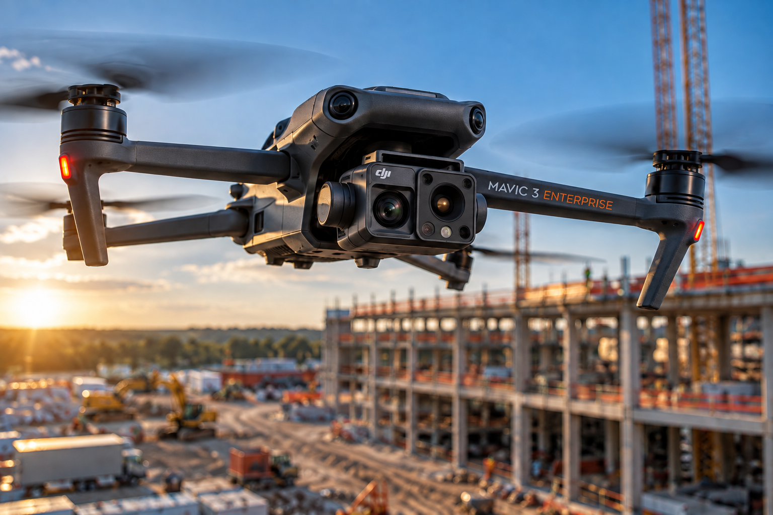
Aerial Inspections
Capture detailed, high-resolution visual data for commercial properties and infrastructure. Structured imagery and clearly documented areas of interest provide teams with an efficient record for condition assessment, maintenance planning, and further technical evaluation.
02
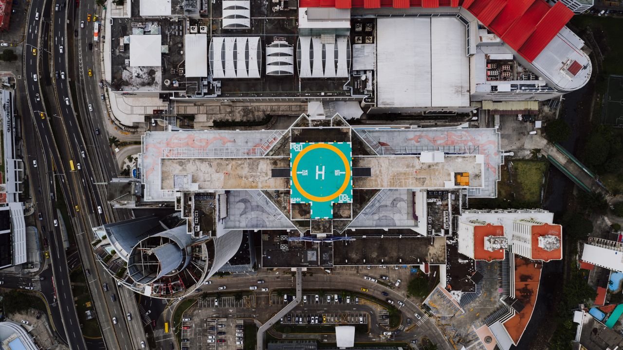
Construction Intelligence
Monitor project progress through repeatable aerial data capture and site documentation. Consistent visual records, progress comparisons, and mapping help owners and project teams track site conditions, communicate changes, and maintain project visibility over time.
03
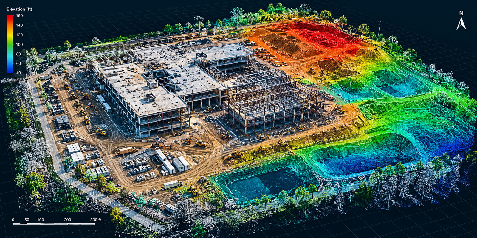
Aerial Mapping & Analytics
Transform aerial data into actionable site intelligence through orthomosaics, 3D models, terrain visualization, volumetric analysis, and other project-specific deliverables that support planning, measurement, documentation, and informed decision-making.
10+
Years of Experience

Who We Are
Meet Aerial Precision Data
Aerial Precision Data combines engineering expertise and drone technology to provide valuable visual insights for property owners and construction professionals.
Exceptional Aerial Insights
Transforming Property Documentation with Drones
Clear Site Documentation
Carefully planned aerial imagery captures the views your team needs to review site conditions, track construction progress, and document hard-to-reach areas.
Practical Deliverables
Annotated photographs and repeatable progress views provide organized visual records that are easy to review, compare, and share.
An Engineering Perspective
A foundation in civil engineering and software systems brings an understanding of construction and data organization to every assignment.
Get Started Today
See More. Waste Less. Build Smarter.
APD helps construction teams see what’s happening across their projects, identify potential problems earlier, and make better decisions using aerial data.