From Aerial Capture to Actionable Data

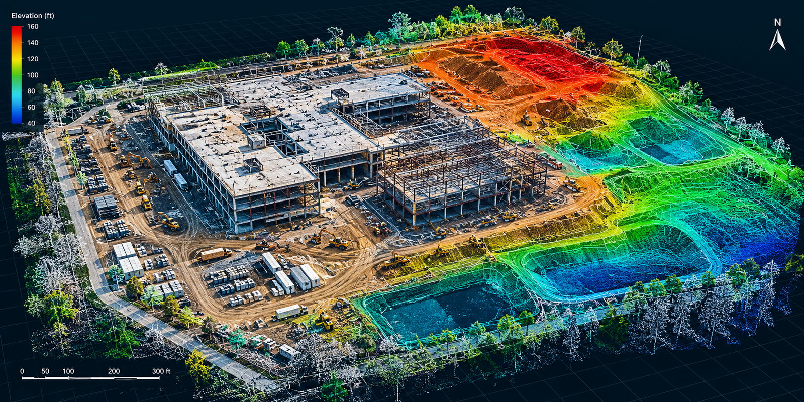
lidar construction site elevation map

10+

Years of Experience

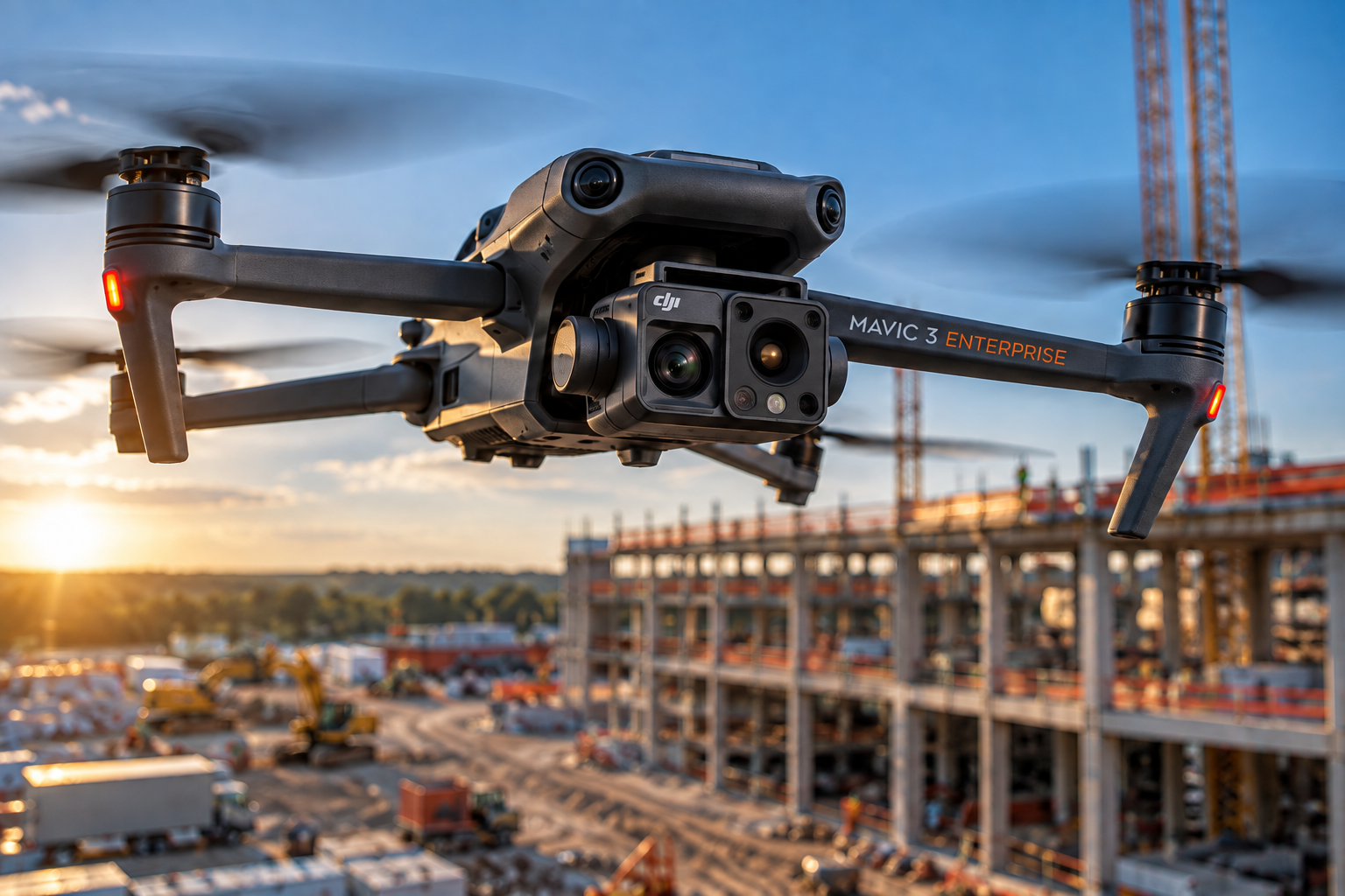
enterprise drone over sunset construction site

Expertise Driven by Civil Engineering Experience

Aerial Precision Data was built around a simple idea: collecting imagery is only the first step. The value comes from understanding what was captured, organizing it correctly, and presenting it in a form that helps someone make a decision.

Founded by a civil engineer with a master’s degree in highway engineering and a background spanning software systems, data management, and commercial photography, APD brings those disciplines together in aerial inspection and construction-data workflows.

We focus on repeatable data capture, clearly identified observations, organized project records, and deliverables designed for practical use—not folders containing hundreds of unexplained photographs.

Based in Spring Hill, Florida, Aerial Precision Data is being developed to serve construction, commercial property, and infrastructure projects throughout Tampa Bay and Central Florida.

Our Mission and Core Values

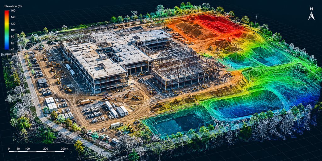
lidar construction site elevation map

Our Mission

At Aerial Precision Data, we aim to enhance property documentation through high-quality drone imagery, fostering informed decisions and transparency for our clients in Tampa Bay and Central Florida.
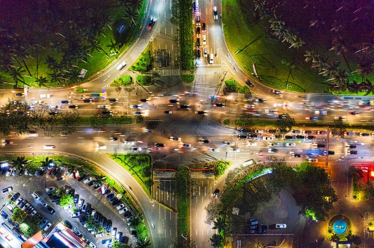
Vibrant aerial photo showcasing Banten's bustling intersection at night.

Our Values

We value precision, integrity, and exceptional service, ensuring meaningful deliverables that meet the needs of our clients while maintaining clear communication and attention to detail in every project.

Our Process

How We Work

Step-01

Consultation

We discuss your project needs and specific requirements to align our services with your expectations.

Step-02

Planning

We design a detailed plan for the aerial flight, ensuring compliance with regulations and site conditions.

Step-03

Execution

Our team captures high-quality imagery during the flight, resulting in accurate and informative visual documentation.

Andre Shavlovskiy

Founder/Owner

Meet Our Team

Our Experienced Professionals

Our team combines expertise in civil engineering and data systems to deliver exceptional drone documentation services.

Get Started Today

See More. Waste Less. Build Smarter.

APD helps construction teams see what’s happening across their projects, identify potential problems earlier, and make better decisions using aerial data.

Scroll to Top