01
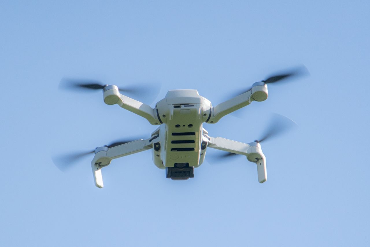
Roof Documentation
Our Roof & Exterior Documentation service offers high-resolution aerial imagery that captures the state of your property’s roof and exterior. This service is invaluable for property owners and construction teams, enabling clear visual reports for maintenance planning and condition assessments, ultimately helping you make informed decisions regarding repairs and upgrades.
02

Construction Monitoring
Construction Progress Monitoring provides consistent aerial imagery throughout the construction lifecycle. As milestones are reached, documentation will visually illustrate project development, enabling stakeholders to stay updated and informed on project timelines, budget adherence, and quality assurance with clear visuals that document every significant phase.
03
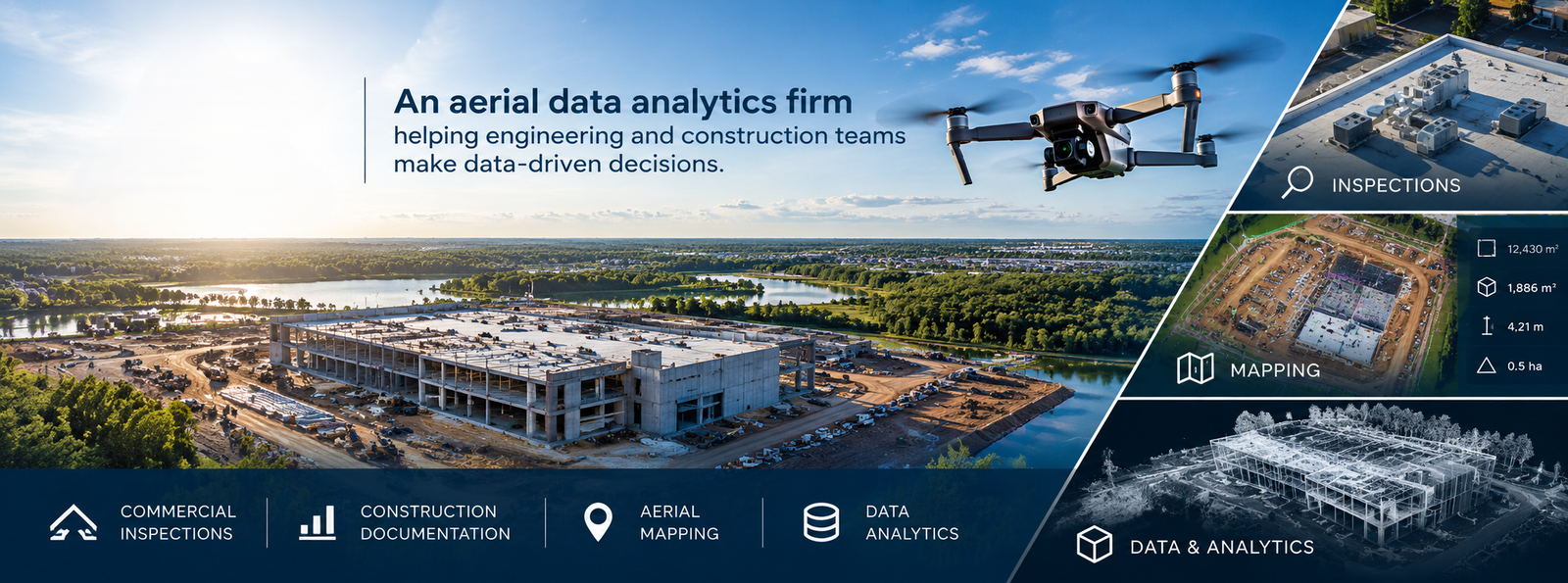
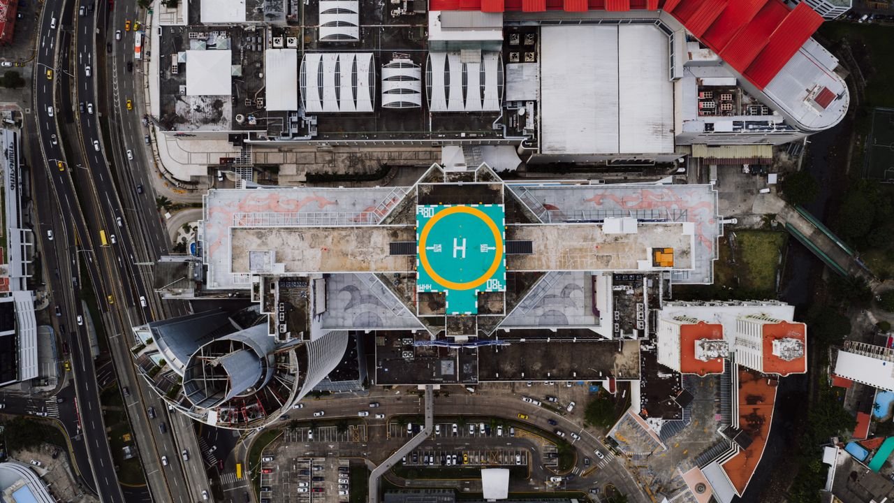
Commercial Imagery
Commercial Property Imagery delivers stunning aerial photographs tailored for real estate and marketing purposes. This service captures your property from unique perspectives, showcasing its features and enhancing listings or promotional materials, providing potential buyers and clients a comprehensive view to better appreciate the value of your commercial spaces.
04
Storm Documentation
Our Storm & Property Condition Documentation service safeguards your investment by providing pre- and post-storm imagery. This allows property owners and managers to visually assess damage and condition changes, supporting insurance claims and facilitating informed discussions about repairs and mitigations with relevant stakeholders.
05
Service 5
The Aerial Video Service offers dynamic and engaging footage capturing your property from above. Ideal for showcasing real estate, marketing campaigns, or project updates, our videos provide a unique perspective that static images can’t convey, helping you present your property or project in a compelling, comprehensive manner.
06
Service 6
Customized Visual Records deliver organized, accessible documentation tailored to your project’s specific needs. This service includes a thorough collection of aerial imagery and video, compiled into easy-to-navigate files. Gain insights into your projects and streamline communication with contractors, stakeholders, or clients with well-documented visual records.